Slovenia | Road Traffic Data
Navigate the diverse landscapes of Slovenia with our detailed road traffic dataset, providing key insights into traffic flows, congestion points, and vehicle types across the country. Essential for transportation officials, urban planners, and policy makers, this dataset is crucial for optimizing traffic management, enhancing public transportation systems, and supporting infrastructure improvements in Slovenia's urban and rural environments.
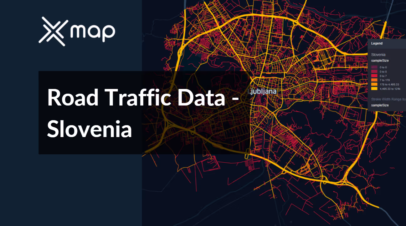


Vital Traffic Insights across the Slovenia
Gain valuable insights from detailed data and research, which provide a comprehensive understanding of traffic flow complexities, congested zones, and necessary speed adjustments for optimizing transportation planning in Slovenia.
Download a Sample
Preview the depth and breadth of our traffic data collection, showcasing how granular insights can revolutionize transportation planning and management in Slovenia.
.avif)
Key Variables
Gain valuable insights from detailed data and research, which provide a comprehensive understanding of traffic flow complexities, congested zones, and necessary speed adjustments for optimizing transportation planning in Slovenia.
Use Cases
How can this dataset benefit you?
Utilize Slovenia’s road traffic data to manage and optimize traffic during peak tourist seasons in popular destinations such as Lake Bled and the coastal town of Piran. Implement strategies like temporary traffic rerouting, increased parking facilities, and real-time traffic updates to visitors to handle the influx of vehicles smoothly and preserve the quality of the tourist experience.
Leverage traffic data to implement smart traffic systems in Ljubljana, enhancing traffic flow and reducing congestion. These systems can use AI to analyze traffic patterns and automatically adjust traffic light timings and inform residents about less congested routes through mobile apps and digital signage, improving daily commutes.
Employ traffic and accident data to enhance safety on rural roads, particularly those known for higher rates of accidents and limited visibility. Use this information to pinpoint locations where safety measures such as improved lighting, better road signage, and speed limit enforcement are needed to prevent accidents and improve road safety for local communities.
Everything You need to know to know about the Road Traffic of Slovenia
Median Vehicle Speeds by Road Names
This analysis evaluates median vehicle speeds across various road types, highlighting efficiency and congestion levels from highways to local streets.
Speed Limit Distribution
Explores the range and prevalence of speed limits throughout Slovenia, identifying areas with strict regulations and potential zones for speed limit adjustments.

Functional Road Class (FRC) Distribution
Illustrates the variety of road types within the network, from major thoroughfares to local streets, and their distribution across the territory.

Average Speed by Functional Road Class (FRC)
Analyzes average speeds based on road functional classifications, providing insights into traffic flow and congestion differences between arterial roads and local streets.

Average Speed Distribution for Šmartinska cesta
Examines speed patterns along this major road, highlighting areas of congestion or high efficiency and their impact on travel times.

Top 10 Streets by Average Speed
Lists the top 10 streets by average speed, offering an overview of traffic conditions in busy urban areas or on efficient routes.

Ljubljana Street Traffic Analysis
Presents a detailed examination of traffic flow on Ljubljana’s streets, including peak traffic times, average speeds, and congested areas, supported by visual data.

Why xMap?
xMap empowers businesses with unparalleled location intelligence and comprehensive data analysis, guiding them towards market leadership and growth.
Frequently Asked Questions
Find answers to commonly asked questions about our spatial analyst platform.
This dataset encompasses real-time and historical data on traffic density, accidents, road conditions, and congestion trends.
Leverage this dataset for site selection, analyze road traffic on your desired business location, enhanced route planning, strategic urban development projects, and to implement proactive traffic management strategies.
At xMap, we are committed to ensuring that our clients can leverage our datasets effectively. We provide comprehensive technical support, including help with data integration, troubleshooting, and optimization of data use. Additionally, we offer consulting services to help businesses understand and analyze traffic data to meet their specific strategic objectives.

