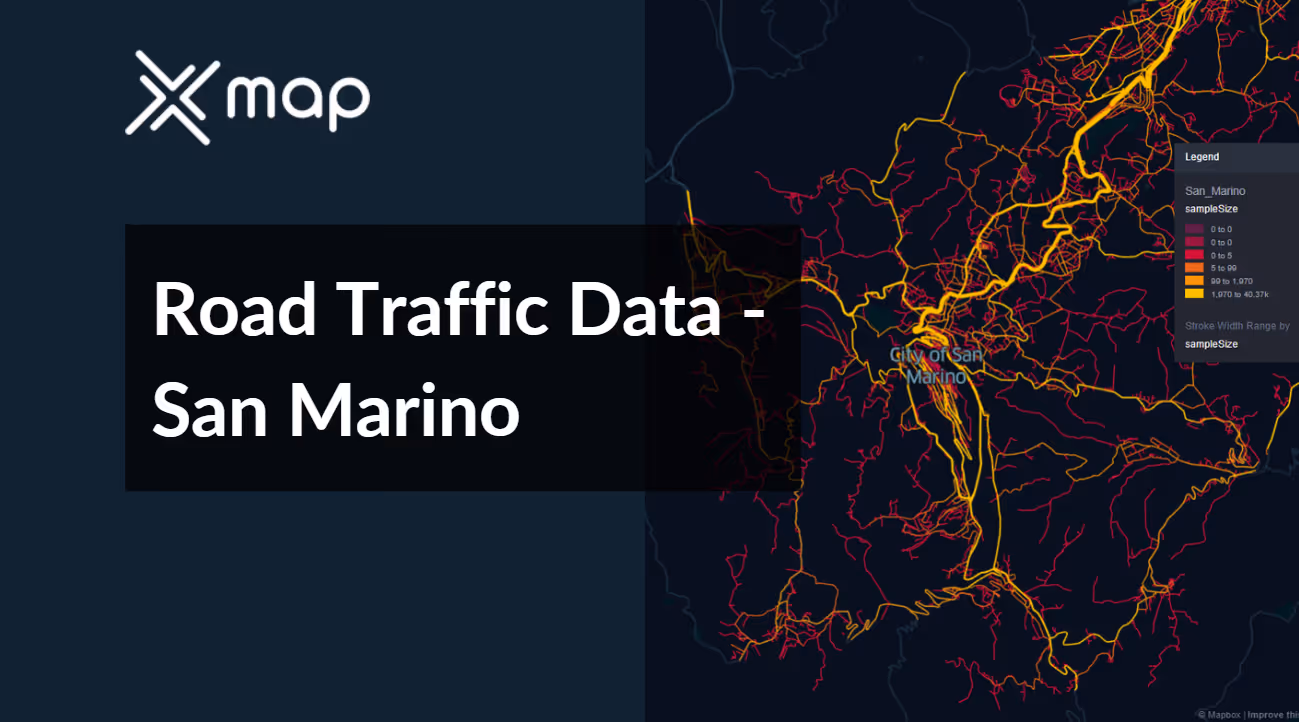
San Marino - Road Traffic Data
Explore the unique traffic dynamics of San Marino with our comprehensive dataset, capturing detailed insights into traffic flows, congestion levels, and vehicle types within this small yet historically rich enclave. Ideal for local authorities, urban planners, and researchers, this dataset is essential for devising effective traffic management strategies, enhancing urban mobility, and planning for sustainable infrastructure developments in San Marino.


Vital Traffic Insights across the San Marino
Examine in-depth data and studies that provide valuable insights into the complexities of traffic patterns, congested zones, and necessary speed changes for efficient transportation planning in San Marino.
Download a Sample
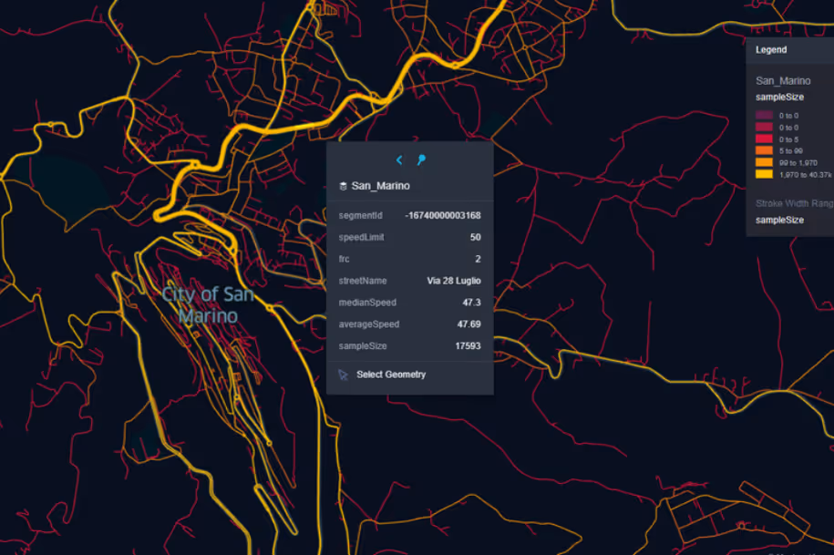
Preview the depth and breadth of our traffic data collection, showcasing how granular insights can revolutionize transportation planning and management in San Marino.
Key Variables
Examine in-depth data and studies that provide valuable insights into the complexities of traffic patterns, congested zones, and necessary speed changes for efficient transportation planning in San Marino.
Use Cases
How can this dataset benefit you?
Utilize San Marino's road traffic data to regulate traffic within its historical center, preserving its heritage while accommodating tourists and residents. Implement measures such as timed entry systems, vehicle restrictions during peak hours, and the enhancement of pedestrian zones. This approach aims to reduce congestion, improve air quality, and enhance the visitor experience in culturally significant areas.
Leverage traffic data to optimize emergency response routes and times in San Marino. Analyze traffic patterns to ensure that emergency services can navigate quickly and efficiently, especially during peak tourist seasons or special events. This use of data helps in planning the most effective routes and times for emergency interventions, improving response times and public safety.
Employ road traffic data to develop and implement sustainable urban mobility plans in San Marino. Focus on enhancing public transportation options, creating more bike lanes, and promoting walking paths. Use the insights from traffic volumes and movement patterns to identify areas for improvement and to effectively reduce the dependency on private vehicles, supporting environmental sustainability and urban livability.
Everything You need to know to know about the Road Traffic of San Marino
Median Vehicle Speeds by Road Names
This analysis evaluates median vehicle speeds across various road types, highlighting efficiency and congestion levels from highways to local streets.
Speed Limit Distribution
Explores the range and prevalence of speed limits throughout San Marino, identifying areas with strict regulations and potential zones for speed limit adjustments.

Functional Road Class (FRC) Distribution
Illustrates the variety of road types within the network, from major thoroughfares to local streets, and their distribution across the territory.

Average Speed by Functional Road Class (FRC)
Analyzes average speeds based on road functional classifications, providing insights into traffic flow and congestion differences between arterial roads and local streets.

Average Speed Distribution for Via 4 Giugno
Examines speed patterns along this major road, highlighting areas of congestion or high efficiency and their impact on travel times.

Top 10 Streets by Average Speed
Lists the top 10 streets by average speed, offering an overview of traffic conditions in busy urban areas or on efficient routes.

San Marino Street Traffic Analysis
Presents a detailed examination of traffic flow on San Marino's streets, including peak traffic times, average speeds, and congested areas, supported by visual data.

Why xMap?
xMap empowers businesses with unparalleled location intelligence and comprehensive data analysis, guiding them towards market leadership and growth.
Frequently Asked Questions
Find answers to commonly asked questions about our spatial analyst platform.
This dataset encompasses real-time and historical data on traffic density, accidents, road conditions, and congestion trends.
Leverage this dataset for site selection, analyze road traffic on your desired business location, enhanced route planning, strategic urban development projects, and to implement proactive traffic management strategies.
At xMap, we are committed to ensuring that our clients can leverage our datasets effectively. We provide comprehensive technical support, including help with data integration, troubleshooting, and optimization of data use. Additionally, we offer consulting services to help businesses understand and analyze traffic data to meet their specific strategic objectives.

