Morocco - Road Traffic Data
Explore the bustling roadways of Morocco with our comprehensive traffic dataset, offering deep insights into traffic volumes, congestion levels, and travel patterns across urban centers and key transport routes. Ideal for government agencies, urban planners, and transportation companies, this dataset is essential for developing effective traffic management strategies, planning infrastructure improvements, and enhancing public transportation systems throughout Morocco.
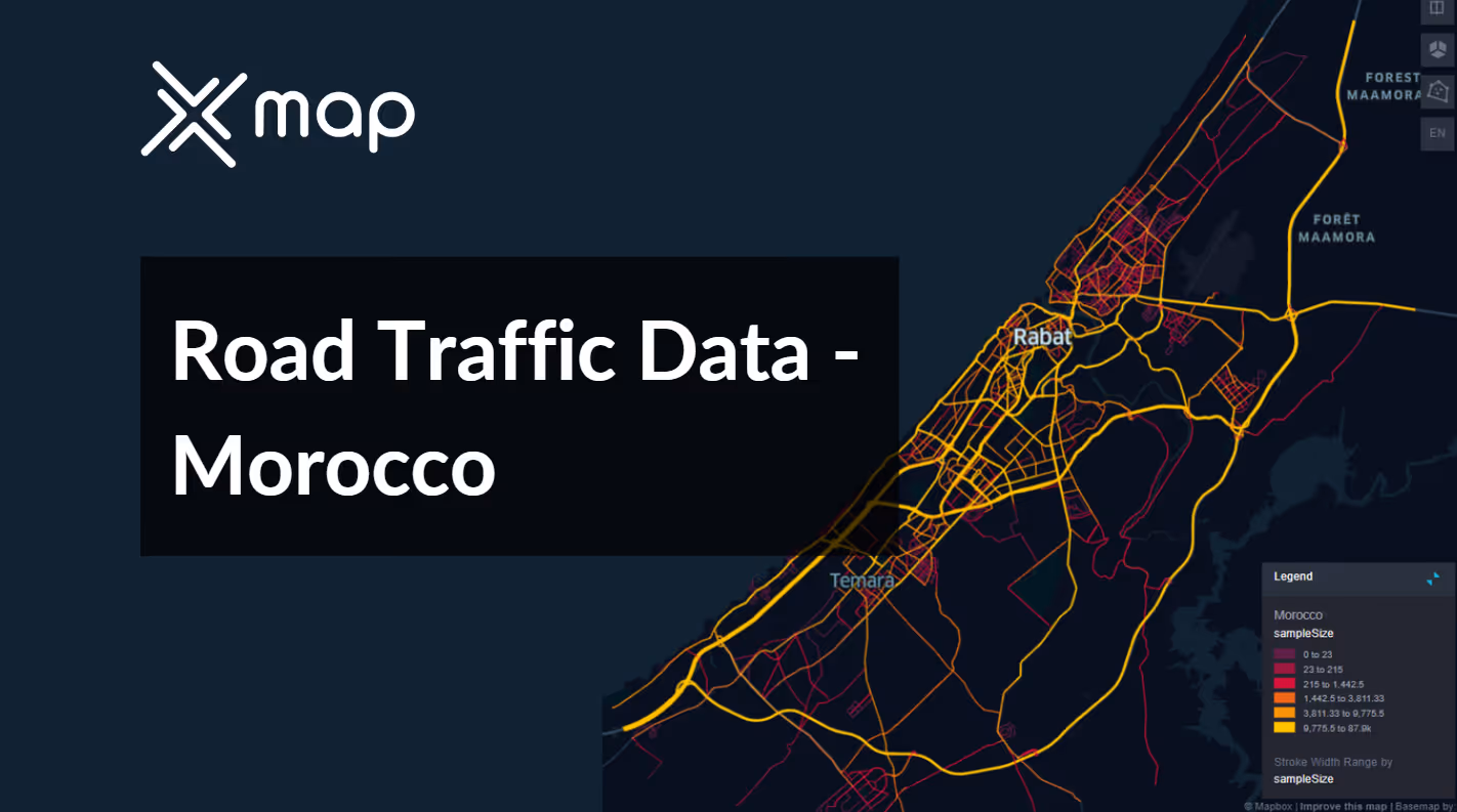


Vital Traffic Insights across the Morocco
Examine in-depth data and studies that showcase the complexities of traffic patterns, areas of congestion, and changes in speed that are essential for making informed decisions when managing transportation throughout Morocco.
Download a Sample
Preview the depth and breadth of our traffic data collection, showcasing how granular insights can revolutionize transportation planning and management in Morocco.
.avif)
Key Variables
Examine in-depth data and studies that showcase the complexities of traffic patterns, areas of congestion, and changes in speed that are essential for making informed decisions when managing transportation throughout Morocco.
Use Cases
How can this dataset benefit you?
Utilize Morocco's road traffic data to manage and optimize traffic flow in major tourist cities such as Marrakech and Agadir. Implement dynamic traffic management solutions that adjust traffic signals and suggest optimal routes in real-time during high tourist seasons, improving travel efficiency and enhancing the visitor experience.
Leverage traffic volume and congestion data to identify areas in need of road expansion or new infrastructure projects. Focus particularly on fast-growing urban areas and key economic corridors to ensure that the infrastructure development aligns with current and projected traffic demands, thus supporting economic growth and reducing traffic congestion.
Analyze traffic pattern data to enhance public safety measures and optimize emergency response routes. Identify potential problem areas with high rates of accidents and congestion, and use this data to guide the placement of emergency services facilities and the planning of emergency access routes, ensuring quick response times and improving overall public safety.
Everything You need to know to know about the Road Traffic of Morocco
Median Vehicle Speeds by Road Names
This analysis assesses median vehicle speeds across different road types, highlighting efficiency and congestion levels from highways to local streets.
Speed Limit Distribution
Explores the range and prevalence of speed limits throughout Morocco, identifying areas with strict regulations and potential zones for speed limit adjustments.

Functional Road Class (FRC) Distribution
Illustrates the diversity of road types within the network, from major thoroughfares to local streets, and their distribution across the territory.

Average Speed by Functional Road Class (FRC)
Analyzes average speeds based on road functional classifications, offering insights into traffic flow and congestion differences between arterial roads and local streets.

Average Speed Distribution for طريق قنيطرة
Examines speed patterns along this major road, highlighting areas of congestion or high efficiency and their impact on travel times.

Rabat Street Traffic Analysis
Presents a detailed examination of traffic flow on Rabat's streets, including peak traffic times, average speeds, and congested areas, supported by visual data.

Why xMap?
xMap empowers businesses with unparalleled location intelligence and comprehensive data analysis, guiding them towards market leadership and growth.
Frequently Asked Questions
Find answers to commonly asked questions about our spatial analyst platform.
This dataset encompasses real-time and historical data on traffic density, accidents, road conditions, and congestion trends.
Leverage this dataset for site selection, analyze road traffic on your desired business location, enhanced route planning, strategic urban development projects, and to implement proactive traffic management strategies.
At xMap, we are committed to ensuring that our clients can leverage our datasets effectively. We provide comprehensive technical support, including help with data integration, troubleshooting, and optimization of data use. Additionally, we offer consulting services to help businesses understand and analyze traffic data to meet their specific strategic objectives.

