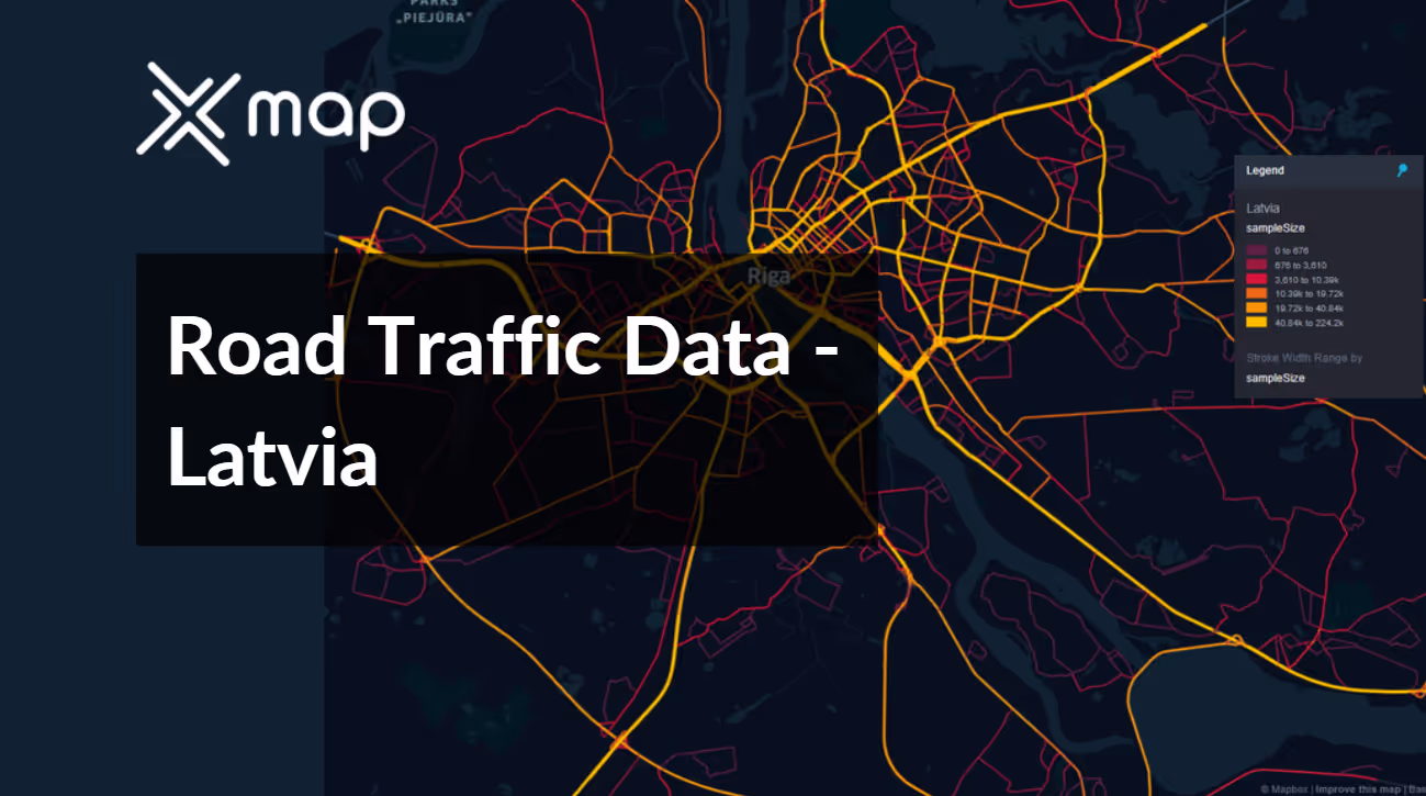
Latvia - Road Traffic Data
Gain in-depth insights into Latvia’s road traffic with our comprehensive dataset, capturing detailed information on traffic flows, congestion trends, and vehicle distribution across diverse regions from bustling Riga to quieter countryside roads. This dataset is crucial for stakeholders involved in traffic management, urban planning, and infrastructure development, providing valuable data to enhance transportation efficiency and support policy decisions in Latvia.


Vital Traffic Insights across the Latvia
Analyze in-depth data and studies that highlight traffic flow intricacies, congested areas, and speed variations—crucial for informed transportation planning and management in Latvia.
Download a Sample
Preview the depth and breadth of our traffic data collection, showcasing how granular insights can revolutionize transportation planning and management in Latvia.
.avif)
Key Variables
Analyze in-depth data and studies that highlight traffic flow intricacies, congested areas, and speed variations—crucial for informed transportation planning and management in Latvia.
Use Cases
How can this dataset benefit you?
Utilize the road traffic data from Latvia to identify high-traffic urban areas that could benefit from the creation of eco-friendly zones. Implement traffic calming measures, pedestrian-only streets, and increased accessibility to public transport in these areas to encourage a shift towards more sustainable urban mobility.
Leverage traffic data to manage and optimize the flow of vehicles during peak tourist seasons, especially in popular destinations like Jurmala and the historic centers of Riga. Plan for adequate parking facilities, temporary traffic rerouting, and enhanced public transport services during high-demand periods to ensure smooth traffic flow and a positive visitor experience.
Develop a real-time traffic information service using Latvia's traffic data to provide up-to-date traffic conditions to motorists. Integrate this service with GPS navigation systems and mobile apps to offer alternative routes during incidents of heavy traffic or road closures, thereby reducing congestion and improving overall traffic management.
Everything You need to know to know about the Road Traffic of Latvia
Median Vehicle Speeds by Road Names
This analysis examines median vehicle speeds across various road types, highlighting efficiency and congestion levels from highways to local streets.
Speed Limit Distribution
Investigates the range and prevalence of speed limits throughout Latvia, pinpointing areas with strict regulations and potential zones for speed limit adjustments.

Functional Road Class (FRC) Distribution
Illustrates the diversity of road types within the network, from major thoroughfares to local streets, and their distribution across the territory.

Average Speed by Functional Road Class (FRC)
Analyzes average speeds based on road functional classifications, offering insights into traffic flow and congestion differences between arterial roads and local streets.

Average Speed Distribution for Maskavas Iela
Examines speed patterns along this major road, highlighting areas of congestion or high efficiency and their impact on travel times.

Top 10 Streets by Average Speed
Lists the top 10 streets by average speed, providing an overview of traffic conditions in busy urban areas or on efficient routes.

Riga Street Traffic Analysis
Presents a detailed examination of traffic flow on Riga's streets, including peak traffic times, average speeds, and congested areas, supported by visual data.

Why xMap?
xMap empowers businesses with unparalleled location intelligence and comprehensive data analysis, guiding them towards market leadership and growth.
Frequently Asked Questions
Find answers to commonly asked questions about our spatial analyst platform.
This dataset encompasses real-time and historical data on traffic density, accidents, road conditions, and congestion trends.
At xMap, we are committed to ensuring that our clients can leverage our datasets effectively. We provide comprehensive technical support, including help with data integration, troubleshooting, and optimization of data use. Additionally, we offer consulting services to help businesses understand and analyze traffic data to meet their specific strategic objectives.
Leverage this dataset for site selection, analyze road traffic on your desired business location, enhanced route planning, strategic urban development projects, and to implement proactive traffic management strategies.

