Czechia - Road Traffic Data
Access a detailed data repository that uncovers the intricate dynamics of road usage, congestion, and traffic flow across Czechia. Gain essential insights from this comprehensive dataset to guide your strategic decisions with a clear understanding of the nation's traffic patterns.
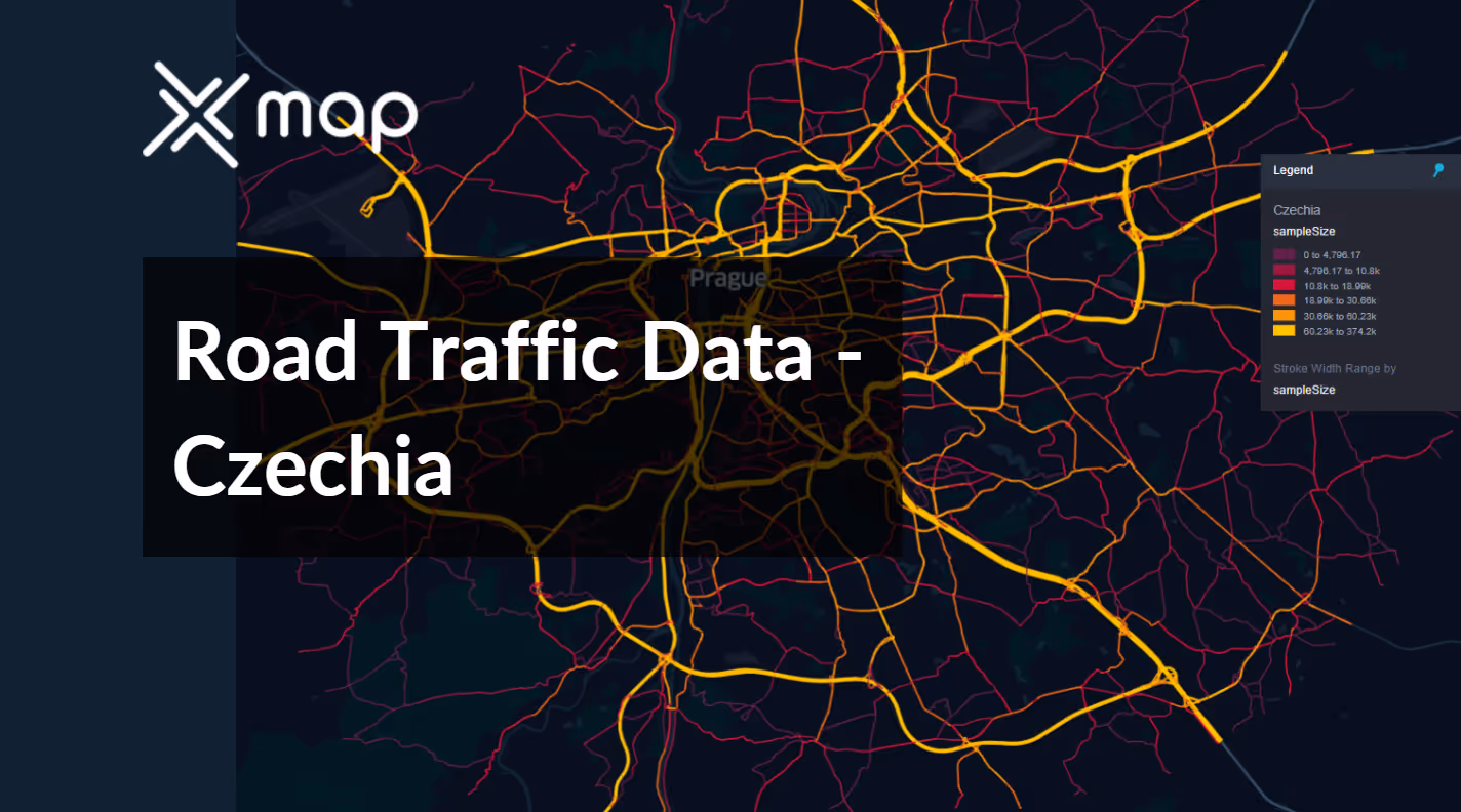


Vital Traffic Insights across the Czechia
Explore detailed metrics and analyses that uncover the nuances of traffic flow, congestion hotspots, and speed trends—vital for informed transportation planning and management across Czechia.
Download a Sample
Preview the depth and breadth of our traffic data collection, showcasing how granular insights can revolutionize transportation planning and management in Czechia.

Key Variables
Explore detailed metrics and analyses that uncover the nuances of traffic flow, congestion hotspots, and speed trends—vital for informed transportation planning and management across Czechia.
Use Cases
How can this dataset benefit you?
Deploy Czechia's road traffic data to enhance intelligent traffic routing systems in congested urban areas such as Prague and Brno. Use real-time traffic data to dynamically adjust traffic signals and inform drivers about optimal routes via mobile apps or vehicle navigation systems, reducing congestion and improving commute times.
Utilize traffic flow data to optimize public transport networks in Czechia. Analyze patterns of high vehicular traffic to adjust bus and tram frequencies and routes, ensuring that public transport is a viable alternative for commuters, thus alleviating road congestion and promoting environmental sustainability.
Leverage historical traffic data to identify roads with high accident rates across Czechia. Apply this information to prioritize road safety improvements, such as better lighting, new signage, or redesigning road layouts, thereby enhancing safety for drivers, cyclists, and pedestrians alike.
Everything You need to know to know about the Road Traffic of Czechia
Median Speed by Street Names
This analysis explores the median vehicle speeds across various road types, highlighting efficiency and congestion levels from highways to local streets.
Distribution of Speed Limits
Analyzes the range and prevalence of speed limits across Czechia, identifying zones of strict regulation and potential areas for speed limit adjustments.

Distribution of Functional Road Classes (FRC)
Highlights the diversity of road types within the network, from major roads to local roads, and their distribution across the country.

Average Speed by Functional Road Class (FRC)
Breaks down average speeds by road functional classification, offering insights into traffic flow and congestion on arterial roads compared to local roads.

Average Speed Distribution for Českobrodská
Focuses on speed patterns along this major road, showcasing areas of congestion or high efficiency and their impact on travel times.

Average Speed by Street Name (Top 10 streets)
Lists the top 10 streets in terms of average speed, offering a snapshot of traffic conditions in busy urban areas or efficient thoroughfares.

Prague Street Road Traffic
Presents a detailed analysis of Prague's traffic flow, including peak times, average speeds, and congestion points, illustrated with visual data.

Why xMap?
xMap empowers businesses with unparalleled location intelligence and comprehensive data analysis, guiding them towards market leadership and growth.
Frequently Asked Questions
Find answers to commonly asked questions about our spatial analyst platform.
This dataset is invaluable for urban planners, infrastructure developers, environmental policy makers, and businesses involved in logistics and transportation. It supports strategic decision-making to optimize traffic flow, enhance infrastructure, and develop policies aimed at reducing environmental impacts.
This dataset encompasses real-time and historical data on traffic density, accidents, road conditions, and congestion trends.
At xMap, we are committed to ensuring that our clients can leverage our datasets effectively. We provide comprehensive technical support, including help with data integration, troubleshooting, and optimization of data use. Additionally, we offer consulting services to help businesses understand and analyze traffic data to meet their specific strategic objectives.

