Colombia - Road Traffic Data
Explore a comprehensive data repository that reveals the intricate dynamics of road usage, congestion, and traffic flow across Colombia. Obtain invaluable insights from this extensive dataset to guide your strategic decisions with a clear understanding of the nation's traffic patterns.
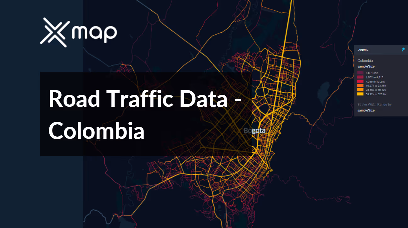


Vital Traffic Insights across the Colombia
Discover detailed metrics and analyses that expose the nuances of traffic flow, congestion hotspots, and speed trends—essential for informed transportation planning and management across Colombia.
Download a Sample
Preview the depth and breadth of our traffic data collection, showcasing how granular insights can revolutionize transportation planning and management in Colombia.
.avif)
Key Variables
Discover detailed metrics and analyses that expose the nuances of traffic flow, congestion hotspots, and speed trends—essential for informed transportation planning and management across Colombia.
Use Cases
How can this dataset benefit you?
Implement road traffic data from Colombia to develop smart traffic light systems in major cities such as Bogotá and Medellín. These systems use real-time traffic flow information to adjust green and red light durations dynamically, reducing wait times and improving overall traffic flow during peak and off-peak hours.
Use traffic data to guide infrastructure investment decisions in Colombia. Analyze patterns of congestion and vehicle types to determine where to build new roads, bridges, or tunnels, and where to enhance existing ones. This targeted approach ensures that investments directly address the most pressing traffic issues, improving mobility and economic productivity.
Leverage traffic data to manage and optimize the flow of tourist traffic to popular destinations like Cartagena and the Coffee Triangle. Plan for seasonal variations in road use and implement measures such as temporary traffic signs and enhanced parking facilities to accommodate higher volumes of vehicles efficiently, enhancing the tourist experience and supporting local businesses.
Everything You need to know to know about the Road Traffic of Colombia
Median Vehicle Speeds by Road Names
This analysis examines the median speeds of vehicles across different road types, highlighting efficiency and congestion levels from highways to local streets.
Speed Limit Distribution
Investigates the range and prevalence of speed limits across Colombia, identifying areas with strict regulations and potential zones for speed limit adjustments.

Functional Road Class (FRC) Distribution
Depicts the variety of road classifications within the network, ranging from major thoroughfares to local streets, and their geographical distribution across the nation.

Average Speeds by Functional Road Class (FRC)
Analyzes average speeds based on road functional classifications, offering insights into traffic flow and congestion differences between arterial roads and local streets.

Average Speed Distribution for Carrera 7
Focuses on speed patterns along this major road, highlighting areas of congestion or efficiency and their impact on travel times.

Top 10 Streets by Average Speed
Lists the top 10 streets by average speed, providing a snapshot of traffic conditions in busy urban areas or highly efficient routes.

Traffic Analysis of Bogotá's Streets
Provides a comprehensive analysis of traffic flow in Bogotá, covering peak traffic times, average speeds, and congestion points, supported by visual data.

Why xMap?
xMap empowers businesses with unparalleled location intelligence and comprehensive data analysis, guiding them towards market leadership and growth.
Frequently Asked Questions
Find answers to commonly asked questions about our spatial analyst platform.
This dataset encompasses real-time and historical data on traffic density, accidents, road conditions, and congestion trends.
Leverage this dataset for site selection, analyze road traffic on your desired business location, enhanced route planning, strategic urban development projects, and to implement proactive traffic management strategies.
At xMap, we are committed to ensuring that our clients can leverage our datasets effectively. We provide comprehensive technical support, including help with data integration, troubleshooting, and optimization of data use. Additionally, we offer consulting services to help businesses understand and analyze traffic data to meet their specific strategic objectives.

