Number of UOVO Locations in the United States of America
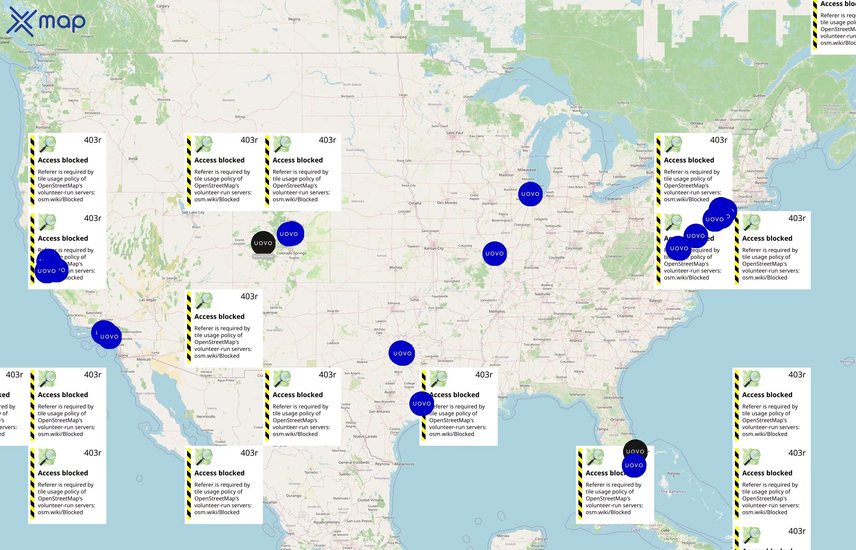
There are 26 UOVO locations in the United States of America as of July 16, 2026. The state or territory with the most UOVO locations is California, with 6 sites, accounting for roughly 23.1% of the total.
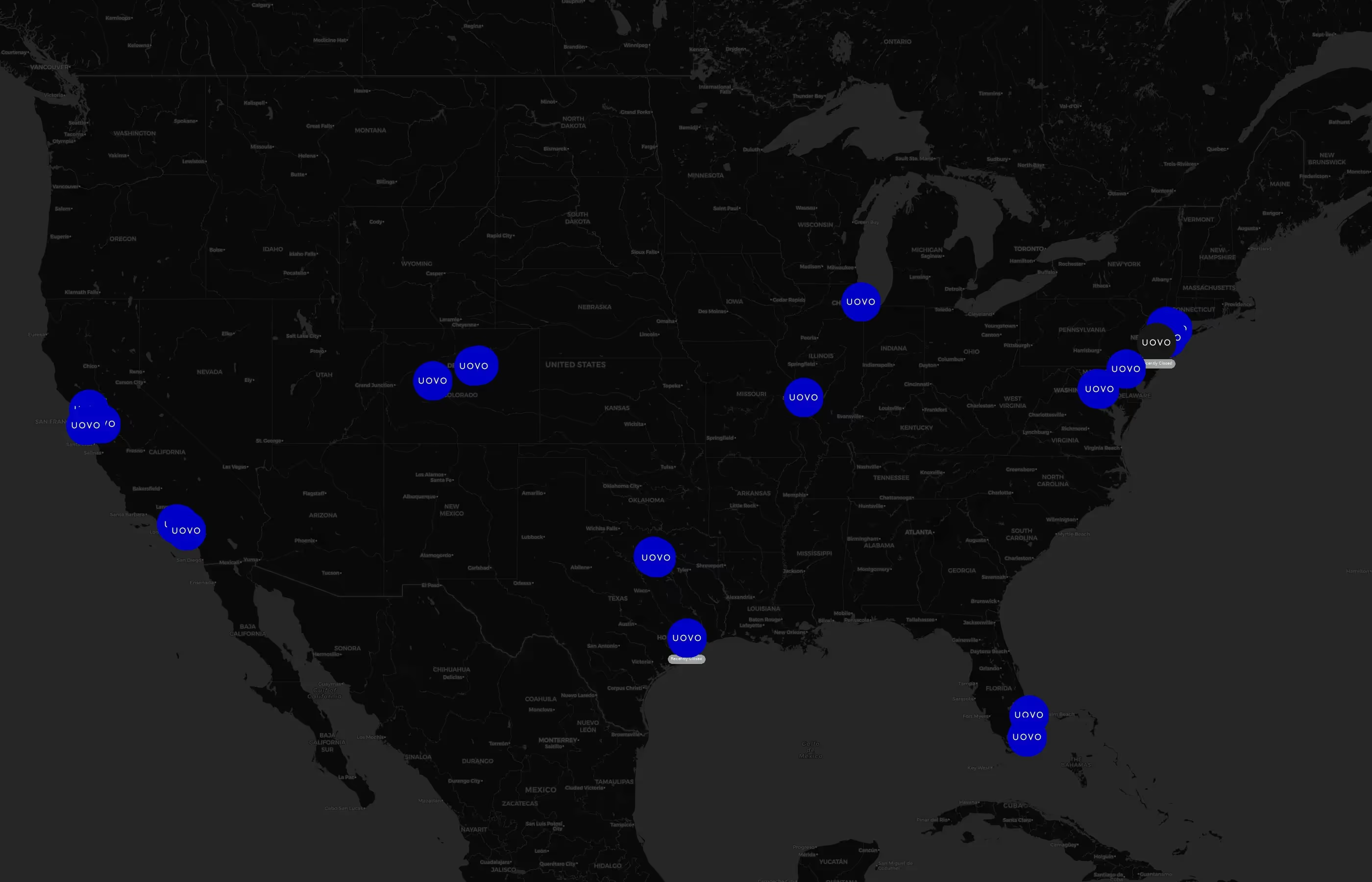
How many UOVO are there in the United States of America?

26

20

26

26

0
Distribution of UOVO Locations Across United States of America by State
UOVO operates 26 United States of America locations across 10 states. Largest clusters are in California, NewYork, and Texas; the top 10 states contain 100.0% of sites. Coverage is thinner in Illinois, Missouri, and NewJersey.
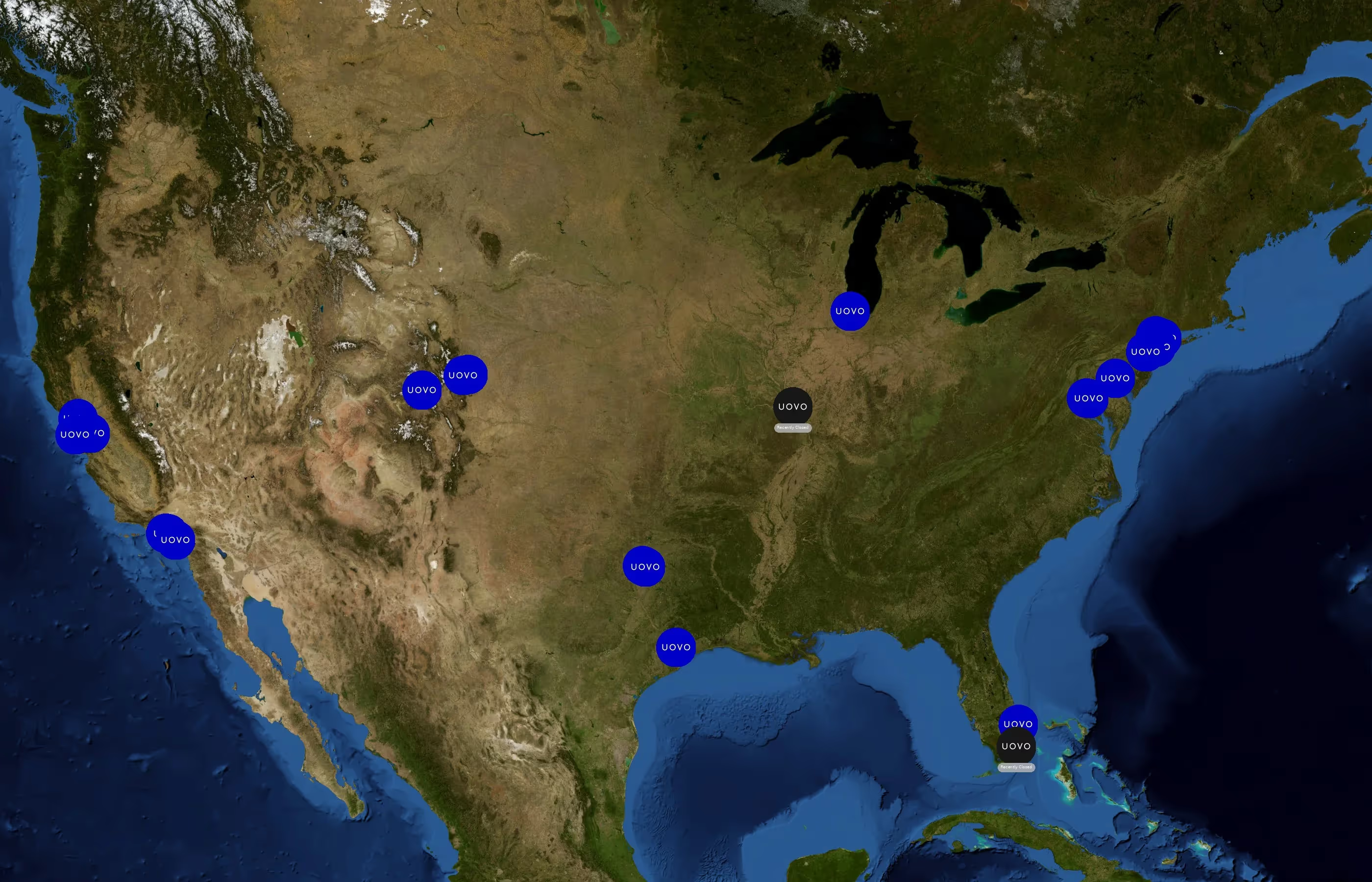
Top 10 States with the most number of UOVO locations in United States of America
UOVO has 26 locations across the United States, with California leading at 6 locations (23.1%), followed by New York with 5 (19.2%) and Texas with 4 (15.4%). The top three states account for 57.7% of all locations, while the top ten states cover 100%. Delaware offers the best access with the lowest population per location at 993,635, whereas Illinois is the most stretched state with 12,757,634 people per location.
UOVO per capita insights
- States (Delaware, Colorado, Missouri) enjoy the best per capita access to UOVO.
- States like Texas, Florida, Illinois, despite their large number of locations, are under-served on a per-person basis, signaling potential demand for suburban expansion.
- Several states strike a balance between population growth and UOVO density, making them hotspots for sustained competition.
Cities With the Most UOVO Locations in the United States of America
Locations concentrate around major metros such as Dallas, Rockland, LosAngeles, Harris, and DistrictofColumbia. The top 10 cities account for 57.7% of U.S. sites.
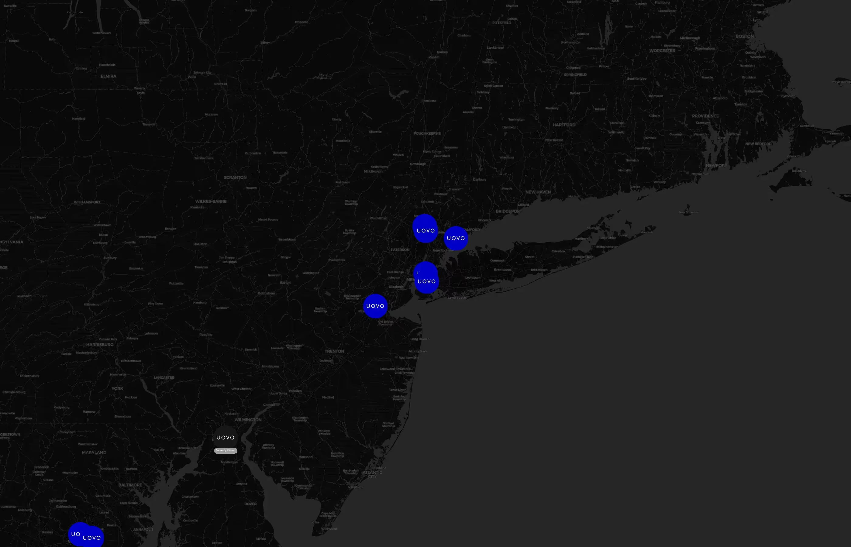
Top 10 Cities Ranked by Location Count
UOVO has a total of 26 locations across the United States, with its top 10 cities accounting for 57.7% of these. Dallas, Rockland, Los Angeles, Harris, and the District of Columbia each host 2 locations, while cities like Denver, Cook, Alameda, Adams, and Miami-Dade have 1 location each. Texas stands out with multiple cities having 2 locations.
Street-level hotspots (busiest streets with multiple UOVO)
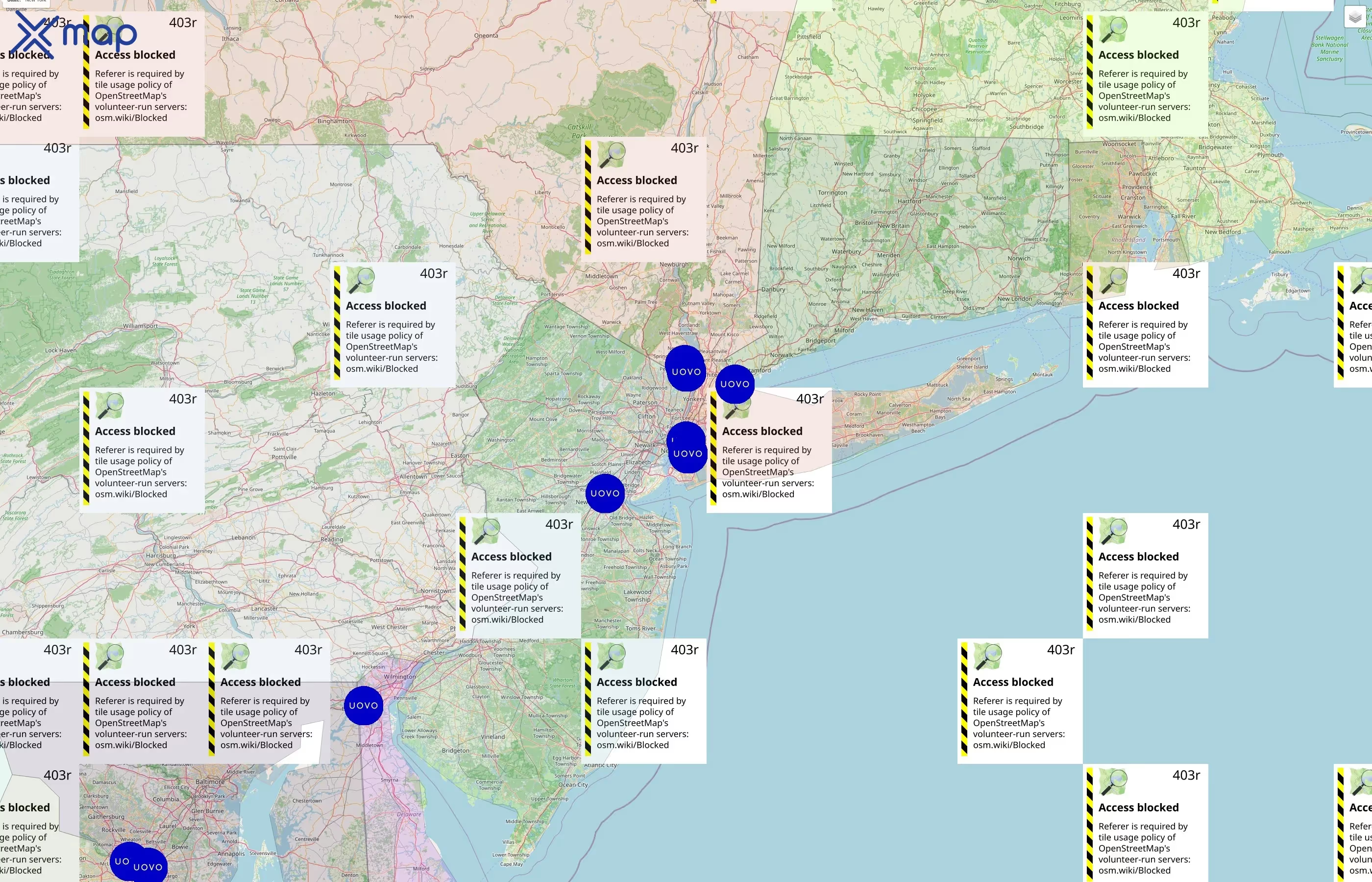
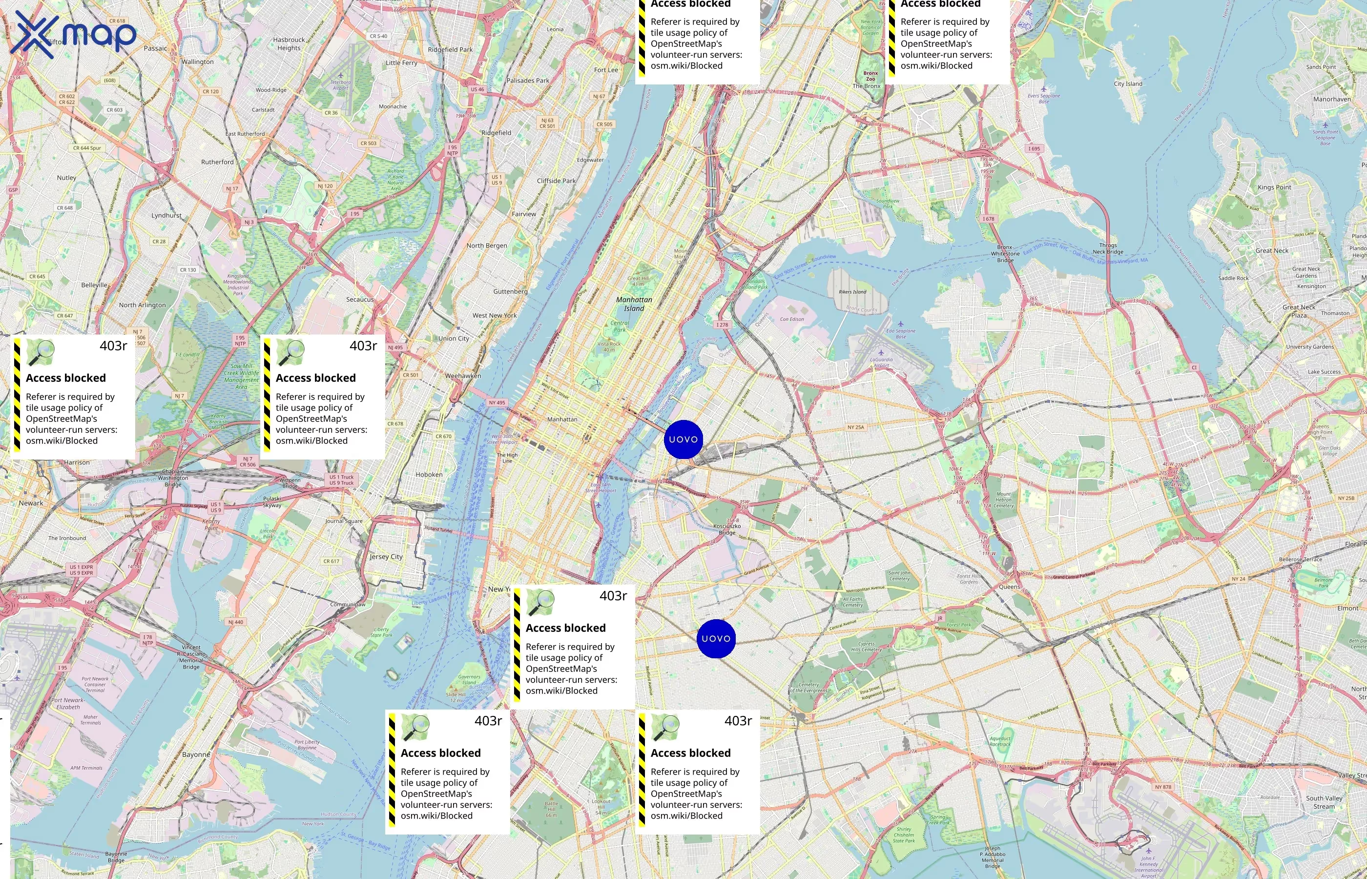
Street-level clusters show corridors where multiple UOVO locations sit within the same neighborhood indicating strong local presence and coherence. UOVO operates a total of 26 nationwide.
Download UOVO Outlets Points of Interest Data
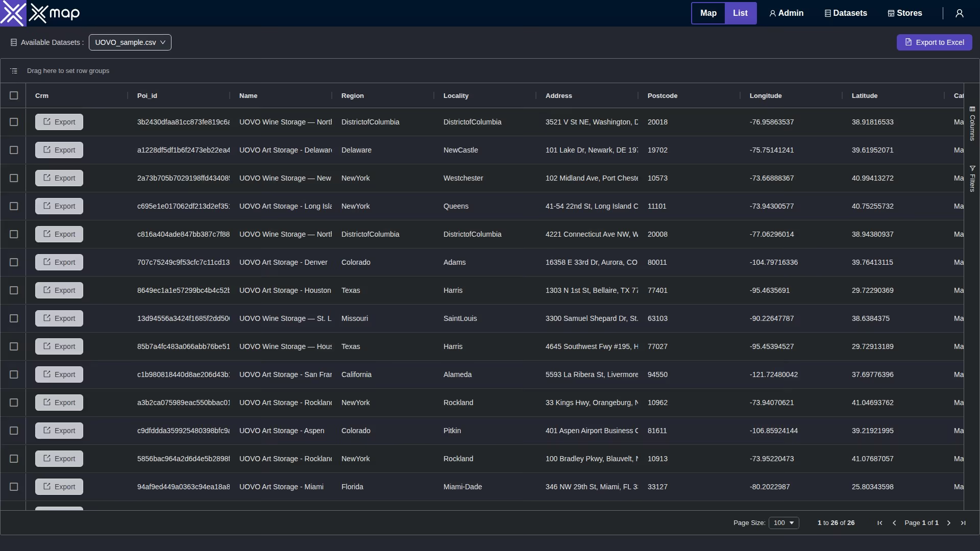
The complete dataset of UOVO locations across the United States of America is available for download, including coordinates, traffic patterns, and operational status.
Key Variables for UOVO Points of Interests
UOVO has 26 locations across the United States of America. The key variables shows the most infleuntial aspects for UOVO locations nationwide. This provides a closer look of how UOVO is operating from different prespectives.
Average Area Covered Per UOVO Locations (By State)
UOVO's locations in the United States span several states, with Texas having the largest land area at approximately 695,668 km² and Delaware the smallest at about 6,446 km². California hosts the most locations, totaling six, despite having a smaller land area of around 423,965 km². Some states, including New York and the District of Columbia, have location counts but missing land area data.
Business Status of UOVO Locations (Open vs Closed)
UOVO has a total of 26 business locations across 10 states in the United States, with all locations currently open and none closed. California leads with 6 open businesses, followed by New York with 5 and Texas with 4. Each state shows a 100% open rate, indicating no closures in any region.
Customer Reviews and Ratings of UOVO Locations
This section summarizes customer sentiment toward UOVO. Using ratings and review totals from 26 locations, we highlight where scores are consistently high and where feedback volume is greatest. Average star ratings reflect perceived quality, while total reviews indicate engagement and reach across the network.
Average Ratings
UOVO's highest average ratings in the United States are in California with a perfect 5.0, followed by Florida at 4.8 and Delaware at 4.7. Illinois and the District of Columbia both have an average rating of 4.6. New York leads in review volume with 68, while Florida has 50 reviews, and California, despite the top rating, has only 12 reviews.
Number of Reviews
UOVO's highest average rating comes from California at a perfect 5.0, followed by Florida with 4.8 and Delaware at 4.7. In terms of total reviews, New York leads with 68, significantly ahead of Florida's 50 and New Jersey's 15. Illinois and California have 14 and 12 reviews respectively, with Illinois also ranking among the top states by average rating at 4.6.
UOVO Locations With Verified Contact Information
Contact Information
UOVO achieved full phone coverage across all listed states in the United States, with each state reporting 100% coverage. California leads with 6 phones, followed by New York with 5 and Texas with 4. Several states, including Delaware, Illinois, Missouri, and New Jersey, each have one phone covered.
Use cases for UOVO Points of Interests Data
Market Analysis
UOVO POI data enables clear measurement of footprint and demand. Analysts can rank states and cities by location count, compare coverage on a per-capita basis, and use traffic scores and review volumes to spot high-performing markets and under-served pockets. The result is an objective view of saturation, growth opportunities, and performance outliers.
Site Selection
For network planning, the data supports scoring candidate trade areas using location density, population per location, and nearby traffic intensity. Teams can evaluate cannibalization risk via nearest-store distance, surface whitespace along key corridors, and prioritize sites near retail anchors, campuses, or transit where observed activity is strongest.
Urban Planning
Planners can map clusters and service gaps to understand commercial access at the neighborhood level. Per-capita coverage highlights communities with limited access, while changes in openings or closures signal shifts in activity. These insights inform corridor revitalization, streetscape and transit planning, and data-driven zoning decisions.
How this xMap's POI data can help businesses?
- Accuracy and Precision: xMap data offers high-accuracy data, which minimizes the chances of wrong decisions based on flawed information.
- Complete Data: With xMap, businesses have access to comprehensive and complete data, effectively filling any knowledge gaps and providing a well-rounded view for decision making.
- Up-to-Date Information: xMap ensures that the data provided is regularly updated, which allows businesses to make dynamic, timely decisions in tune with current trends and situations.
- Scalability: xMap data allows businesses to scale their operations efficiently, by providing insights that cater to varying business sizes and requirements.
- Analytical Power: Utilizing xMap data's analytics can help identify patterns and trends, thus enhancing strategic planning and foresight for businesses.
Download UOVO Point of Interest Data

Number of UOVO Locations in the United States of America
